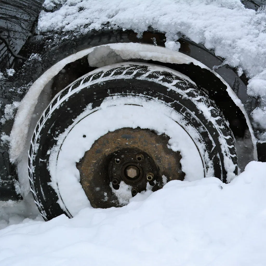
A blast of winter weather is expected in Grey, Bruce and Simcoe Counties this weekend.
Environment Canada Meteorologist Geoff Coulson tells Bayshore Broadcasting News, “This is going to be a long duration lake effect snow event likely getting going Thursday late afternoon/ evening hours and extending right through until at least Monday.”
He says, “Some models are indicating that between Thursday evening and Sunday evening, some localities in parts of southern Bruce County, portions of Simcoe County near Georgian Bay like the Collingwood and Wasaga Beach areas could be looking at amounts in excess of 50cm.”
Coulson explains, “The way things are shaping up right now, I think anywhere in the Owen Sound area and southward has the potential to get some of these higher amounts. In looking at the various forecast models, they certainly play up amounts coming inland from Lake Huron in the Kincardine, Port Elgin area over towards Hanover, but also the potential for significant amounts through Owen Sound, Chatsworth, Holland Centre, Markdale. A good portion of southern Bruce County has potential for getting significant amounts by late Monday.”
He adds, “Certainly winds are going to be part of the equation in terms of locally poor visibilities and a combination of snow and blowing snow.”
Coulson cautions, “Anybody living in Huron County, in Grey County, in Bruce County, in Simcoe County at least those areas towards Georgian Bay should be aware this is going to be a long-lived event.
He says bands can shift and the visibilities can change dramatically in different locations from one hour to the next.
“It is important to note that anyone planning travel through any of these counties from Thursday evening to at least Monday should be aware they’re going to be encountering potential pockets of very poor visibilities in snow and blowing snow,” says Coulson.
He notes, “Accumulations by Sunday could be significant in some areas. Monday the event continues but the bands have shifted somewhat more down towards Perth County and southern Huron County, but still potential Monday and even into Tuesday.”
“This is still quite a changeable situation. The event is expected to really get going Thursday evening. So, very important for folks to stay on top of the latest statements from Environment Canada. Snow squall watches may be issued in the coming hours. Snow squall warnings probably once they have a better idea of where the initial bands are going to set up, and then during the course of the event, those warnings will be updated to try to play up the areas expected to get the the most significant snowfalls,” says Coulson.
Coulson says, “It’s going to be winter driving conditions for many areas. Slowing things down on the roadways, leaving extra space between yourself and the vehicle in front of you for that extra stopping distance.”


