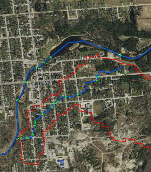
Durham Creek Floodplain Map (Image from West Grey website)
The Saugeen Valley Conservation Authority (SVCA) is updating the floodplain mapping for Durham Creek.
The SVCA is working with the Municipality of West Grey on a study aimed at updating the mapping for the area to enhance the understanding of flood risks and explore potential mitigation strategies.
SVCA Manager of Water Resources Elise MacLeod, who is coordinating the project, says they reached out to local municipalities after grant funding became available. West Grey expressed an interest in updating it floodplain mapping and the authority was successful in securing funding to undergo the project.
“There is quite a bit that is included and examined for the particular project in Durham. It is a slightly different dynamic too, because we are looking at the dam and flood control,” says MacLeod. “This project is specific to Durham Creek.”
She says floodplain mapping plays an important part in guiding decisions related to safeguarding people and properties from natural hazards.
“Generally speaking, floodplain mapping does hydrologic and hydraulic modeling. Those are models involving both weather events as well as the channel itself with consideration for bridges and culverts,” says MacLeod.
As part of this project, they are holding a public information session today at West Grey’s council chamber from 6:30 p.m. to 8 p.m.


